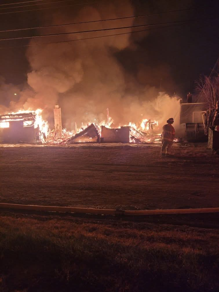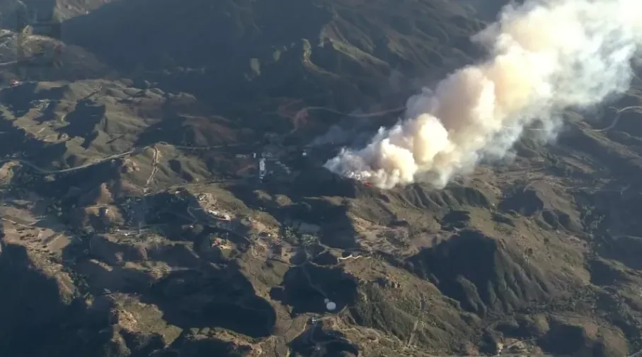

MALIBU, California, October 16, 2026 — A fast-moving wildfire burned more than 100 acres in Malibu on Thursday, forcing residents to evacuate as powerful Santa Ana winds drove flames through dry canyon vegetation in Southern California.
The Bryson Fire erupted near Mulholland Highway and Encinal Canyon Road around 4:40 p.m. on October 15. By approximately 7 p.m., the blaze had reached 102 acres, according to local reports. CAL FIRE recorded 0% containment in its earlier evening update.
Mandatory evacuation orders were issued near Kanan Dume Road and Encinal Canyon, while surrounding neighborhoods received warnings. Fire officials cautioned that the blaze could potentially grow to 200 acres.
A wind-driven brush fire in Malibu has prompted an evacuation order and warnings in the area. The fire broke out near Encinal Canyon Road and quickly grew to more than 100 acres. https://t.co/m5xjsCfzAv https://t.co/5dybFqfyYP
— ABC7 Eyewitness News (@ABC7) October 16, 2026
Malibu Bryson Fire Spreads Rapidly Near Encinal Canyon
The wildfire started near the Camp Kilpatrick juvenile detention facility in rugged terrain northwest of central Malibu.
Initially estimated at two acres, the fire expanded to 35 acres by 5:42 p.m. and 80 acres by 6:13 p.m. Wind-driven embers sparked additional fires ahead of the main flames.
By 7 p.m., FIRIS mapping placed the burned area at approximately 101.5 acres. The 200-acre figure mentioned by officials was a projection, not confirmed damage.
Malibu Fire Evacuation Orders and Warning Areas
Authorities issued a mandatory evacuation order for KAN-U017, covering an area near Kanan Dume Road and Encinal Canyon Road.
Evacuation warnings were issued for CRN-U019, LBO-U018, LEO-U015, MAL-C113, MAL-C114, MCR-U021, MLK-U020, SYC-U016, VST-U046 and WLV-C201.
Warnings extended toward coastal areas, including portions near Zuma Beach and Leo Carrillo State Park.
Residents under evacuation orders must leave immediately. Those under warnings should prepare to depart, particularly people requiring assistance or transporting pets and livestock.
Residents can check updated boundaries through the official Malibu evacuation map. Evacuation conditions may change without much notice.
Firefighters Deploy Super Scoopers as Santa Ana Winds Intensify
The Los Angeles County Fire Department reported 115 personnel responding Thursday evening, with additional resources being dispatched.
Two Super Scoopers joined other firefighting aircraft making water drops over the burning hillsides. Crews faced difficult terrain and strong winds, while aircraft operations became more challenging after sunset.
A Red Flag Warning remained in effect across much of Los Angeles and Ventura counties through Saturday evening, October 17.
Winds near Malibu were reported at 20–30 mph, with stronger gusts forecast in mountain areas. Low humidity increased the danger of rapid fire growth.
Pepperdine University, Power Outages and Community Concerns
Pepperdine University said the fire was approximately eight miles northwest of its Malibu campus and was not threatening university property at the time of its Thursday evening statement.
Southern California Edison also implemented precautionary power shutoffs, affecting parts of central and western Malibu. Residents were advised to charge phones, prepare emergency supplies and anticipate possible communication disruptions.
The emergency renewed memories of the destructive 2018 Woolsey Fire. Similar wildfire risks have affected nearby communities, including during the Jasper Fire near Malibu Canyon, when firefighters used aircraft to protect hillside neighborhoods.
Read More
Other California Wildfires Add Pressure on Emergency Crews
Thursday’s dangerous weather coincided with several additional fires, including the Peak Fire in Azusa, a smaller blaze in Tujunga and the Henderson Fire at Camp Pendleton.
Earlier in 2026, the Sandy Fire in Simi Valley also forced evacuations as flames threatened residential areas.
Bryson Fire Injuries, Damage and Latest Status
No injuries, fatalities or destroyed structures had been confirmed in Thursday evening reporting. The fire’s cause remained under investigation.
As of the information verified for this report, no newer Friday morning acreage or containment figure was established. Residents should continue monitoring evacuation alerts and avoid roads being used by emergency crews.

Make Swikblog your go-to source on Google for reliable updates, smart insights, and daily trends.