Britain has already shivered through the coldest night of winter so far — and now a named storm is set to push wintry disruption into a new phase. Here’s what Storm Goretti is, why it matters, and what to watch over the next 48 hours.
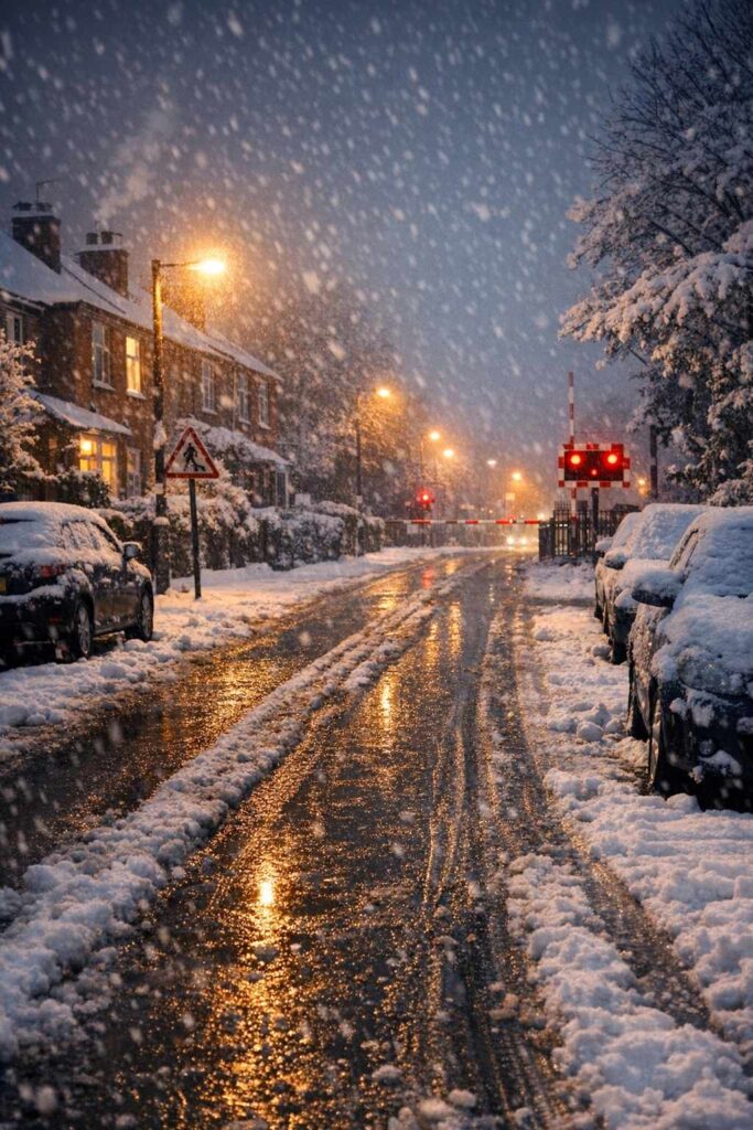
After days of biting cold, the UK is on alert for fresh snow and ice as Storm Goretti approaches. With the ground already frozen in many areas, forecasters warn that even a relatively short burst of heavy snow can translate into longer-lasting hazards: untreated side roads turning into ice rinks, commuter routes slowing to a crawl, and school transport being disrupted at short notice.
What is Storm Goretti?
Storm Goretti is the name given to a developing low-pressure weather system expected to bring disruptive conditions across parts of western Europe and the UK. Importantly, a storm name is not a “strength rating”. It’s a communication tool: naming is used to make high-impact weather easier to track in headlines and public advice, so people recognise it quickly and take warnings seriously.
In this case, the storm has been named by Météo-France, with UK impacts monitored through the Met Office warning service. The Met Office has described the incoming period as a potential “multi-hazard” spell — a mix of snow, wind and rain arriving on top of already dangerous cold.
Why the timing makes this snow riskier
Storm Goretti is landing right after Britain’s deepest freeze of the season, when temperatures dipped well below zero overnight in parts of the country. That matters because frozen ground changes everything:
- Snow compacts faster on frozen surfaces, making ice more likely.
- Grit is less effective if heavy snow quickly covers treated roads.
- Black ice risk rises when daytime thaw is followed by a refreeze at night.
- Travel disruption lasts longer because clearing and melting take more time.
In practical terms, the biggest danger often isn’t the “snow day” itself — it’s the next morning, when compacted snow becomes slick ice on pavements, cycle lanes, station steps and residential streets.
Where snow warnings are focused
The latest warnings indicate the highest snow risk will fall across a wide belt that can include northern England and parts of Scotland, with additional wintry hazards possible further south as the system moves through. Forecast confidence typically sharpens 12–24 hours ahead of arrival, so the key is tracking updates rather than relying on a single snapshot.
If you’re planning travel, check the warning details for your specific local authority area via the Met Office page above, and keep an eye on live disruption reporting from major news and transport feeds (for rolling coverage, Sky News and ITV have both been updating Storm Goretti timelines: Sky News, ITV News).
What disruption looks like in real life
When severe cold is already in place, disruption can spread quickly. The typical pressure points are predictable:
- Roads: slower commutes, crashes on untreated routes, stranded vehicles on hills.
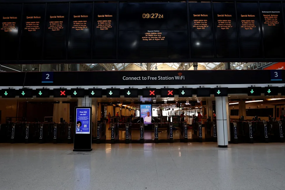
- Rail: speed restrictions, frozen points, knock-on delays across wider networks.
- Schools: closures driven by transport safety rather than classrooms being unusable.
- Health: higher risk for older adults and those with existing conditions as the cold persists.
The most disruptive combination is often snow + wind. Strong gusts can drift snow back onto cleared roads, reduce visibility, and turn what would be manageable snowfall into genuinely difficult driving conditions.
What to do now (simple, useful steps)
- Check updated warnings before you travel — especially if you commute early morning or late evening.
- Allow extra time, charge your phone, and keep warm layers in the car if driving.
- Watch for refreezing after dusk: melted slush can turn to ice fast.
- If you’re responsible for others, plan a backup (school run, care visits, deliveries).
Storm Goretti may be the first named storm of the year, but it’s the context — a deep freeze already gripping the UK — that makes it worth taking seriously. The headline risk is heavy snow, yet the lasting story is ice: the kind that turns a normal winter week into a nationwide disruption, one commute at a time.
Make Swikblog your go-to source on Google for reliable updates, smart insights, and daily trends.