Evacuation alerts have been issued for around 30 properties in British Columbia’s Fraser Valley as a powerful atmospheric river continues to batter the region, raising serious concerns over flooding and landslides. The alerts, affecting areas along Sheldon Road and Wilson Road near the Chilliwack River, signal a growing risk to life and property as heavy rainfall intensifies across the province.
Local authorities have warned residents to remain prepared to leave their homes at short notice, as river levels rise rapidly and already saturated ground increases the likelihood of dangerous slope failures. The situation is evolving quickly, with officials closely monitoring water flows and weather patterns.
Evacuation Alerts Issued Amid ‘Danger to Life’ Warning
The Fraser Valley Regional District (FVRD) confirmed that the evacuation alerts were issued due to the “potential danger to life and safety” caused by the atmospheric river event. The affected locations are situated southeast of Chilliwack, roughly four kilometres apart along the Chilliwack River Valley, an area highly vulnerable to flooding during extreme weather.
Authorities also declared a state of local emergency, stating that the storm poses an “existing or imminent threat” to residents and infrastructure within Electoral Area E. While an evacuation alert does not require immediate departure, it serves as a critical warning that conditions could worsen rapidly.
Heavy Rainfall Fuels Flood Risk Across Fraser Valley
The Fraser Valley is currently under a rainfall warning, with Environment Canada forecasting up to 120 mm of rain in the region. In nearby areas, rainfall totals are even more severe, with northern parts of Metro Vancouver expected to receive up to 130 mm by late Friday.
Additional forecasts include:
- Up to 80 mm along the Coquihalla Highway between Hope and Merritt
- Nearly 50 mm in the Fraser Canyon south of Boston Bar
- Up to 120 mm on western Vancouver Island near Port Renfrew
Experts warn that prolonged heavy rain falling on existing snowpack is significantly increasing runoff, accelerating river swelling and heightening flood danger across multiple regions.
For official updates, residents can follow Environment Canada and flood advisories from the B.C. River Forecast Centre.
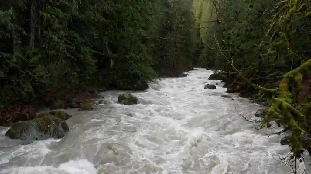
Flood Watch and Rapid River Rise Across South Coast
B.C.’s River Forecast Centre has issued a flood watch for the South Coast, warning that river levels are rising and flooding could occur in areas near waterways. Officials noted that rivers are already elevated, and with soil fully saturated, the next wave of rainfall could trigger faster and more dramatic increases in water levels.
The agency highlighted that the storm’s “extremely long duration,” combined with heavy precipitation and rain-on-snow conditions, has significantly increased the overall flood hazard.
Widespread Impact: Flooding, Mudslides and Evacuations
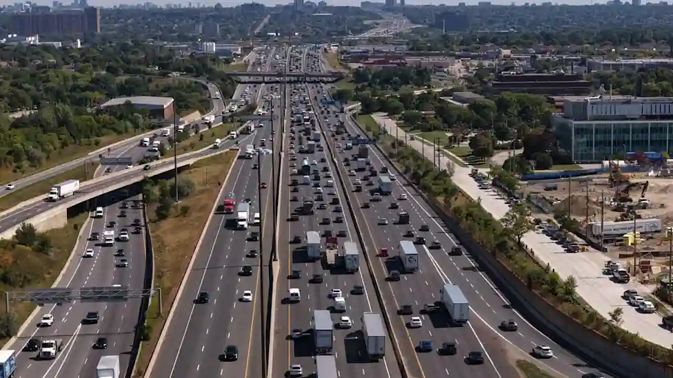
The atmospheric river has already caused disruption in multiple parts of British Columbia. Flooding has forced evacuations in communities such as Ocean Falls and Martin Valley on the Central Coast, while a mudslide in Coquitlam — a suburb of Vancouver — knocked out power and added to the growing list of weather-related incidents.
These events underline the broader impact of the storm system, which is affecting transportation, infrastructure, and residential areas across the province.
Snowfall and Wind Warnings Add to Weather Threat
While heavy rain dominates the South Coast, other parts of British Columbia are facing additional hazards. Snowfall warnings have been issued for the Chilcotin region near Anahim Lake and the South Peace River region near Tumbler Ridge, with up to 15 cm of snow expected.
Meanwhile, strong wind warnings are in place for Interior regions including the South Thompson, Shuswap, and Nicola areas. Wind gusts could reach up to 90 km/h, creating further risks such as falling trees, power outages, and hazardous driving conditions.
Why the Situation Is Especially Dangerous
Several factors are combining to make this storm particularly dangerous. The ground across much of the region is already saturated from earlier rainfall, meaning it cannot absorb additional water effectively. This increases surface runoff, leading to faster river rises and a higher likelihood of flash flooding.
At the same time, the rain-on-snow effect is amplifying water flow into rivers and streams, while unstable slopes raise the risk of landslides and debris flows. Together, these conditions create a high-risk environment where situations can escalate quickly.
What Residents Should Do Now
Residents in evacuation alert zones are strongly advised to prepare for possible evacuation. This includes packing emergency kits, securing important documents, arranging transportation, and planning where to go if an evacuation order is issued.
Even those outside the alert areas should remain vigilant, as conditions can change rapidly during prolonged storms. Staying informed through official updates and avoiding flood-prone or unstable areas is critical.
With heavy rain expected to continue and river levels still rising, Fraser Valley remains on high alert. Authorities stress that early preparation and awareness will be key in reducing risk as the situation develops.
You may also like: ATO Crackdown 2026: 88% Non-Compliance Triggers $16M in Penalties
Make Swikblog your go-to source on Google for reliable updates, smart insights, and daily trends.