Severe storms moving through Alabama and the Gulf Coast overnight caused widespread disruptions across several counties in the WKRG News 5 coverage area, knocking down trees, blocking major highways and damaging property as cleanup crews worked through the early morning hours to restore normal conditions.
Emergency updates issued throughout the night showed a rapidly evolving situation across Clarke County, Jackson and Mobile, where high winds and storm debris created hazardous travel conditions and localized damage. The storm system is part of a broader severe weather pattern that has already produced a confirmed tornado in Alabama earlier this week.
Storm damage reported across Mobile neighborhoods
One of the most visible signs of the overnight storm damage was reported in Mobile’s Pinehurst neighborhood, where a large tree collapsed onto a vehicle on Pinemont Drive near Adkins Road. The tree fell across the roadway and landed directly on the parked car, illustrating the strength of the winds that moved through the area late Wednesday night.
Images shared from the scene showed the tree completely blocking the roadway while resting on top of the vehicle. Although there were no immediate reports of injuries connected to the incident, fallen trees remain one of the most common hazards during severe storms across coastal Alabama, particularly in residential neighborhoods lined with older trees.
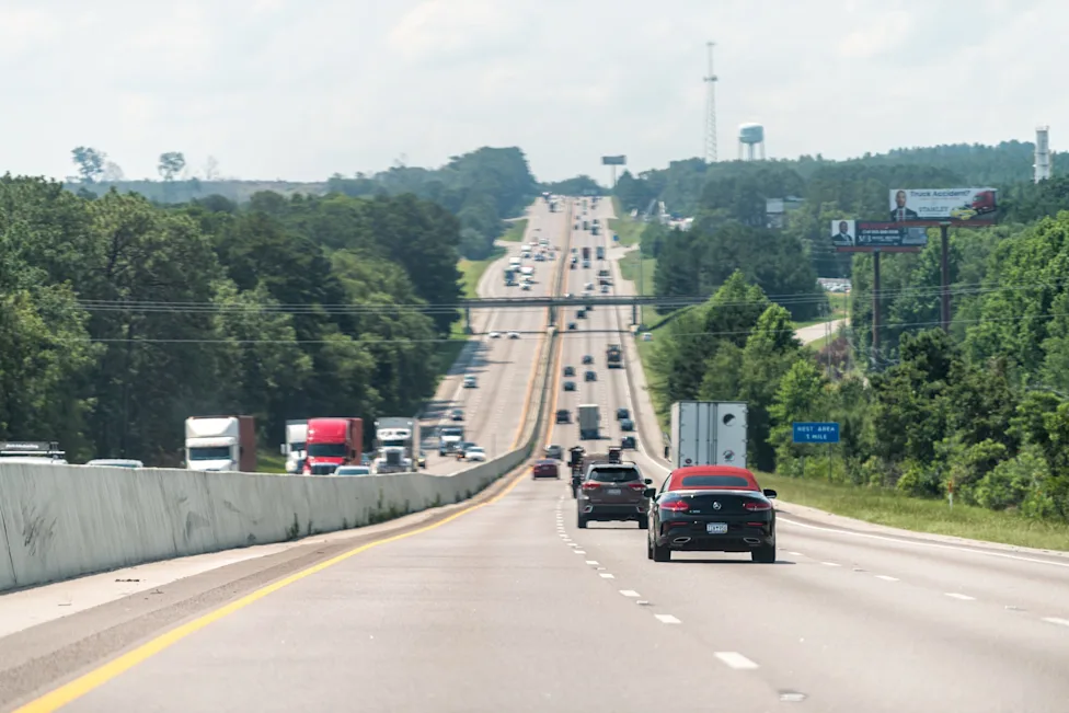
Major highways blocked by fallen trees and debris
Traffic alerts throughout the night indicated that several major roadways were impacted by debris and fallen trees as the storm system moved through the region.
According to the Alabama Department of Transportation’s ALGO Traffic reports, debris initially blocked the southbound lanes of U.S. Highway 43 before Alabama Highway 177 in Jackson. Crews were later able to clear the obstruction, allowing traffic lanes to reopen.
Meanwhile in Clarke County, downed trees blocked portions of both Highway 84 and Alabama Highway 5 approximately two miles east-southeast of Coffeeville and roughly three miles east of Sunny South.
Early updates showed both northbound and southbound traffic affected in the area. By approximately 3:48 a.m., transportation officials confirmed that the southbound lanes of Highway 84 and AL-5 had reopened, along with one northbound lane, although the second northbound lane remained closed due to debris that still needed to be cleared.
In another early morning alert issued at around 3:59 a.m., officials reported that a fallen tree was blocking the westbound lane of U.S. Highway 84 past U.S. 43 in Clarke County, continuing to pose travel hazards for drivers heading toward the Mississippi state line.
Additional reports also indicated debris blocking the westbound lanes of U.S. 84 before the Mississippi border near the community of Isney, further highlighting the broad geographic footprint of the storm damage.
Officials warned that these types of storm impacts often remain dangerous even after the worst weather has moved through, as debris-covered roadways, reduced visibility and emergency cleanup operations can complicate travel conditions.
Confirmed tornado from earlier storms adds to severe weather concerns
The latest round of storm damage comes just days after meteorologists confirmed that a tornado touched down in Alabama during a separate severe weather event earlier in the week.
According to a preliminary storm survey conducted by the National Weather Service in Birmingham, the tornado occurred Monday night in western Jefferson County and was rated EF-0 on the Enhanced Fujita scale, with peak winds estimated at 80 miles per hour.
The tornado touched down at approximately 7:40 p.m. south of Lock 17 Road near Betty Hill Road. It remained on the ground for 5.83 miles and reached a width of about 200 yards at its peak intensity.
Survey teams determined that most of the tornado damage involved trees being snapped or uprooted along its path. However, the storm also caused structural impacts including minor roof damage to two homes and damage to a small outbuilding.
Power infrastructure was also affected, with broken power poles leaving lines across roadways in some areas.
Straight-line winds damage buildings in Winston and Tuscaloosa counties
Weather survey teams also investigated damage reports in Winston and Tuscaloosa counties from the same storm system. Investigators concluded that much of the destruction in those areas was caused by powerful straight-line winds reaching speeds of up to 75 miles per hour rather than a tornado.
In Winston County, significant damage was documented in the Forkville and Ashridge communities. The most concentrated damage occurred near the intersection of Highway 195 and Little Crooked Road.
Several structures were affected in that area. A furniture store sustained roof damage and had its glass door blown out by the winds. Nearby, a hay shed was flipped onto another outbuilding, while a larger garage experienced siding and roof damage.
Survey teams also reported that a smaller shed collapsed completely and fell into the larger garage structure during the storm.
Meteorologists noted that the same storm responsible for wind damage in northern Tuscaloosa County later strengthened and produced the Jefferson County tornado, illustrating how severe thunderstorm systems can evolve quickly as they move across the state.
Alabama enters active severe weather pattern
The recent storm activity highlights the increasingly active severe weather pattern typical across Alabama and the broader Gulf Coast region during early spring.
Warm moisture flowing northward from the Gulf of Mexico combined with strong atmospheric systems moving across the southern United States often creates ideal conditions for severe thunderstorms capable of producing damaging winds, large hail and tornadoes.
Forecasters have warned that additional rounds of severe weather could develop as the week continues. Residents are urged to stay informed and monitor official forecasts from the National Weather Service Mobile office and severe weather outlooks issued by the NOAA Storm Prediction Center.
For communities across southern Alabama, the overnight storm damage serves as another reminder that even relatively brief storm systems can create widespread disruptions. From fallen trees in Mobile neighborhoods to blocked highways in Clarke County and a confirmed tornado in Jefferson County earlier in the week, the state is already seeing the type of volatile weather that typically defines the spring severe storm season.
Make Swikblog your go-to source on Google for reliable updates, smart insights, and daily trends.