Ahead of World Tsunami Awareness Day (5 November 2025), we map the fault lines most likely to generate the next major tsunami—and the coastal cities that could be hit hardest. This guide blends science, preparedness and verified sources to help readers understand real risk (and what to do about it).

Top megathrust “time-bomb” zones in 2025
Summaries below use public research and agency reports. See the Sources section for links.
1) Cascadia Subduction Zone (Pacific NW, USA–Canada)
Why it matters: A full-margin rupture (M~9) could trigger a Pacific-wide tsunami impacting the U.S. Pacific Northwest and British Columbia minutes after shaking.
- At-risk metros: Seattle, Portland, Vancouver, coastal Oregon/Washington/BC.
- Read more: USGS: Cascadia Subduction Zone · NOAA Tsunami Program
2) Makran Subduction Zone (Iran–Pakistan–Oman)
Why it matters: Steep bathymetry plus shallow thrusting can generate high run-up along the Arabian Sea. Historic events (e.g., 1945) show basin-wide impact potential.
- At-risk metros: Muscat, Gwadar, Chabahar, Karachi.
- Read more: IOC-UNESCO: Indian Ocean Tsunami Programme · Technical review: Makran hazard synthesis
3) Sunda Megathrust (Indonesia)
Why it matters: One of Earth’s most active subduction margins. Segments near Sumatra/Java can generate tsunamis that impact Indonesia and across the Indian Ocean.
- At-risk metros: Jakarta, Padang, Banda Aceh; regional impact possible (Indian Ocean rim).
- Read more: NHESS 2025: Probabilistic tsunami hazard (Indonesia) · UNESCO Tsunami
4) Japan Trench / Nankai (Japan)
Why it matters: The 2011 Tōhoku quake showed how fast deep-ocean deformation translates into destructive waves. Nankai segments also carry significant risk for south-central Japan.
- At-risk metros: Tokyo, Sendai, Shizuoka, Osaka (Nankai scenario).
- Read more: Japan Meteorological Agency (tsunami/eq) · Impact survey: Economic assessment of 2011 impacts
5) Peru–Chile Trench (South America)
Why it matters: Frequent great earthquakes; many coastal cities sit close to steep offshore faults—tsunami arrival can be within minutes.
- At-risk metros: Lima–Callao, Iquique, Antofagasta, Valparaíso.
- Read more: SHOA (Chile) Tsunami Info · NOAA Tsunami education
Why some coastlines think they’re safe (but aren’t)
- Submarine landslides: Can trigger tsunamis without a big local quake; risk grows with sediment loading and shelf instability.
- Sea-level rise + subsidence: Higher baseline water levels amplify run-up and inundation depth for the same wave energy.
- Warning-gap minutes: In near-field zones, you may have minutes to move. Education and drills save lives more than sirens alone.
Background: IOC-UNESCO Tsunami Readiness · USGS Earthquake Hazards.
The stakes: people, infrastructure and cost
Major tsunamis can cause long-term displacement, port shutdowns, and multi-billion-dollar reconstruction. The 2011 Japan event alone led to far-reaching economic effects and global supply chain impacts.
- Critical assets at risk: ports, refineries, power stations, hospitals, schools, and coastal highways.
- Disaster math: Wave energy scales non-linearly with earthquake magnitude—large magnitude increases can boost tsunami energy by orders of magnitude.
- Recovery curve: Cities with robust early warning + drills + land-use buffers rebound faster.
Further reading: UNDRR – Disaster risk reduction · Wave energy scaling study.
Tsunami Safety 2.0: what coastal families should do
- Know your zone: Check local tsunami inundation maps and evacuation routes.
- 3-point kit: water, meds, documents on a grab-and-go list; store higher than flood level.
- Phone alerts on: Enable Wireless Emergency Alerts (US) or your country’s equivalent; follow local emergency agencies.
- Practice the fastest route: On foot to high ground; don’t wait to drive if traffic will stall you.
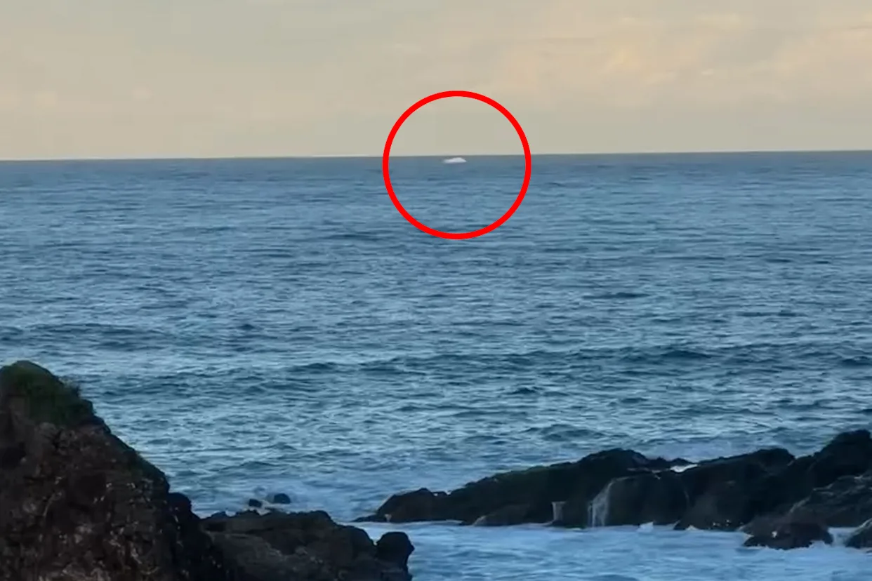
- After shaking: If you feel a strong/long quake near the coast, self-evacuate immediately—don’t wait for sirens.
Authoritative resources: Ready.gov: Tsunamis · NOAA Tsunami · UNESCO Tsunami.
Quick poll
Is your city inside a mapped tsunami zone?
Authentic sources & further reading
- UN/UNESCO – World Tsunami Awareness Day
- NOAA Tsunami Program
- USGS – Cascadia Subduction Zone
- NHESS (2025) – Probabilistic tsunami hazard research (Indonesia)
- IOC-UNESCO – Tsunami Readiness
- Economic impact of the 2011 Japan earthquake & tsunami
- Makran tsunami hazard synthesis (technical)
- Wave energy scaling with earthquake magnitude
Make Swikblog your go-to source on Google for reliable updates, smart insights, and daily trends.