Latest update: Heavy rain has eased in parts of Tasman, but road closures remain in place across Nelson Tasman, including sections of SH6 and SH60.
Tasman flooding has left roads closed, rivers running high and residents facing a difficult morning after parts of the region were hit by up to 200mm of rain in just 12 hours. The severe weather struck overnight, with the heaviest falls reported around Tākaka and the wider Nelson Tasman area as a rain band moved across New Zealand.
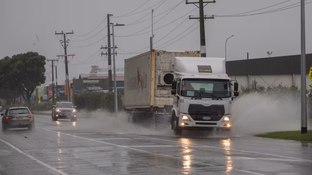
Local authorities reported surface flooding across parts of the region, with rivers rising quickly after the overnight downpour. The scale of the rain has caused major disruption for drivers, with several state highways and local roads affected by flooding, fallen trees and downed powerlines.
The most intense rainfall was recorded in and around Tākaka, where totals were reported in the range of 130mm to 200mm. Videos from Brightwater showed floodwater covering roads and surrounding properties, underlining how quickly conditions changed as the rain system pushed through.
Road closures across Nelson Tasman
Road access remains one of the biggest concerns across the region. State Highway 6 between Pelorus Bridge and Canvastown was closed because of flooding, while State Highway 60 was affected in several places, including between Tākaka and Collingwood.
Another section of SH60 between Park Avenue and Central Tākaka Road was affected by treefall and downed powerlines, with a local detour available through Dodson Road. Flooding also forced restrictions around the stretch between Riwaka River Bridge and Riwaka Kaiteriteri Road, near Cook’s Corner.
Local roads also felt the impact, including Waimea West Road, Telenius Road and Paton Road. Brightwater Bridge was later reported open, but authorities continued to monitor it as river levels and road conditions changed through the morning.
Surface flooding was also reported on State Highway 6 near Wakefield, on SH6 Stoke between Quarantine Road and Salisbury Road, and on State Highway 63 at Birch Hill near the Wye River Bridge. Drivers have been urged to avoid floodwaters, which can hide debris, damaged road surfaces or contamination.
Weather update
The rain across Tasman began to ease through the morning, and several rivers appeared to have reached their peaks. However, the wider weather system continued to affect other parts of New Zealand, with heavy rain watches and warnings covering areas including Auckland, Bay of Plenty, Waikato, Taranaki and the central North Island.
Bay of Plenty was expected to remain one of the areas most exposed to heavy rain as the band moved eastward. Forecasts warned of possible localised downpours and thunderstorms, raising the risk of further surface flooding, slips and difficult driving conditions in vulnerable areas.
For the latest official severe weather alerts, readers can check MetService weather warnings, while live state highway updates are available through the NZTA Journey Planner.
Evacuation and wider travel disruption
Tasman Civil Defence confirmed one household evacuation following the heavy rain. Officials said there had initially been reports of more evacuations, but those were later clarified. The warning from local emergency teams remained clear: take extreme care on roads and stay away from floodwater where possible.
Elsewhere, SH2 through Waioweka Gorge remained closed until further notice after heavy rain and overnight rockfall. Crews were expected to inspect and clear the road only when it was safe to do so.
The severe weather arrived alongside unusually warm early winter temperatures. Wellington reportedly passed its previous maximum June temperature record just days into the month, with readings above 19C recorded on June 1 and June 2.
For Nelson Tasman residents, the immediate focus remains road safety, river levels and cleanup after a fast-moving overnight flood event. Conditions may improve as rainfall eases, but authorities are still urging drivers to check routes before leaving and to delay non-essential travel in flood-affected areas.
Make Swikblog your go-to source on Google for reliable updates, smart insights, and daily trends.