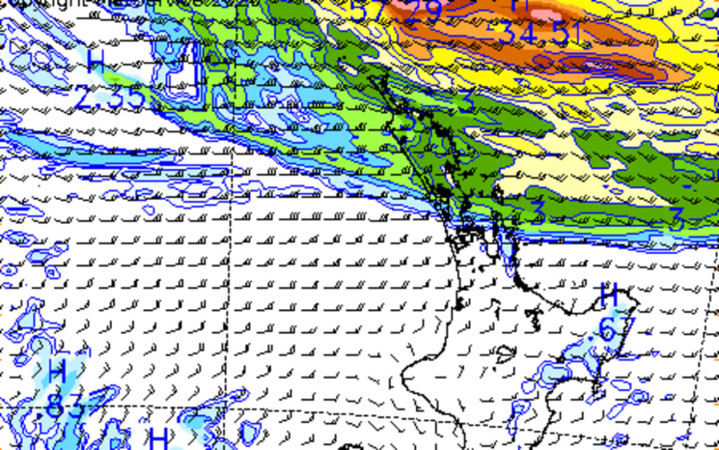
Auckland is bracing for a period of stronger winds and heavier rain as a tropical low tracks toward northern New Zealand, putting the country’s largest city on alert for possible transport disruption, localized flooding, and isolated power outages. Forecast guidance indicates the system will move south over the coming days, with Auckland expected to feel a greater impact from Thursday into Friday as conditions deteriorate across parts of the upper North Island.
The approaching system has already drawn close attention from forecasters and emergency officials because it combines two of the most disruptive weather risks for an urban center: strong gusts and intense rainfall over a condensed period. In Auckland, where heavy rain can quickly create pressure on drainage networks and major roads, even a short spell of severe weather can ripple through commuter traffic, ferry schedules, flights, and local business activity.
Tropical Low Puts Auckland in Focus
The weather setup is being driven by a tropical low positioned north of New Zealand, with the system expected to shift closer as the week progresses. While Northland is among the first regions to come under closer scrutiny, Auckland is increasingly central to the forecast as wind fields expand and rain bands move southward.
According to MetService, the wider northern part of the country faces a risk of strong winds and heavy rain as the system evolves. For Auckland, the significance lies not only in headline rainfall totals but in how quickly conditions can intensify. If the low deepens or tracks slightly closer to the coast, the city could see sharper bursts of rain and stronger gusts than initially expected.
Wind Threat May Be the Bigger Market-Style Risk
In weather terms, heavy rain often commands the most immediate public attention. But in a city like Auckland, wind can be the more disruptive variable. Strong gusts increase the risk of fallen branches, flying debris, ferry interruptions, and temporary power outages, especially in exposed coastal suburbs and elevated neighborhoods. For road users, crosswinds can create additional hazards for trucks, buses, and high-sided vehicles moving along major corridors.
That is why the current outlook is being watched so closely. A windy, rain-soaked Auckland does not only mean an uncomfortable day outdoors; it can also translate into slower logistics, delayed deliveries, and reduced mobility across the metropolitan area. In practical terms, weather volatility tends to hit transport first, then flow through to work schedules, school routines, and retail foot traffic.
Heavy Rain Raises Pressure on Roads and Drainage
The second major risk is rainfall intensity. Auckland does not need record-breaking totals to face disruption. A few concentrated hours of heavy rain can leave standing water on motorways, overwhelm drains in low-lying streets, and create difficult driving conditions during peak traffic periods. That is especially relevant when a tropical system brings moisture-rich air capable of producing sudden downpours rather than long, steady rain.
For households and businesses, the concern is straightforward: water accumulates faster than infrastructure can absorb it. Gutters overflow, small slips become possible on vulnerable slopes, and low-lying parking areas or side streets can become temporarily impassable. These are the kinds of localized effects that often matter most on the ground, even when the broader forecast remains framed in probabilities and confidence ranges.
Why Forecasters Are Treating the System Seriously
Tropical lows demand close monitoring because they can change character quickly. Their impacts depend on track, speed, moisture content, and interaction with other fronts already moving across the country. In this case, the northern low is not acting in isolation. A separate front affecting the South Island adds to the broader unsettled pattern, reinforcing the sense that this is a multi-region weather event rather than a short-lived local shower.
That broader setup helps explain why Auckland is being highlighted early. Meteorologists are effectively tracking a moving risk window, not a single storm burst. The city may avoid the most extreme version of the scenario, but it remains exposed enough that small forecast shifts could materially change local impacts. Emergency guidance from New Zealand Civil Defence becomes particularly relevant in this type of environment, where practical readiness can matter more than the exact wording of an early alert.
What Residents and Businesses Should Watch
The key issue now is timing. Auckland residents should watch for updated forecasts through Thursday and Friday, when the system is expected to move closer and confidence around the heaviest rain and strongest winds is likely to improve. Small changes in the low’s path may determine whether the city sees a manageable spell of rough weather or a more disruptive stretch that affects commuting and local services more broadly.
For businesses, especially those tied to transport, hospitality, delivery, or outdoor operations, the weather risk is less about absolute damage and more about friction. Staff may face slower travel, customers may stay home, and schedules can slip if roads become congested or services are delayed. For households, the checklist is more practical: secure loose outdoor items, charge devices, clear drains where possible, and allow more time for travel if weather worsens.
Conditions May Ease by the Weekend
The better news is that the current forecast suggests the worst of the system should not last deep into the weekend. Guidance points to rain easing by Saturday morning as the low weakens and shifts away, allowing conditions to gradually stabilize. That offers some relief after what could be a volatile 24- to 48-hour period for Auckland and surrounding regions.
Even so, the next two days are likely to be the most important phase of the event. Auckland’s weather outlook now sits at the intersection of tropical moisture, gusty winds, and urban vulnerability to short, sharp disruptions. That combination is why the city remains on alert. The final outcome will depend on the low’s exact movement, but the message from the current forecast is already clear: Auckland should be prepared for a wet, windy, and potentially disruptive spell before calmer conditions return.
Make Swikblog your go-to source on Google for reliable updates, smart insights, and daily trends.