Published: January 17, 2026 • Weather
Parts of Ontario are bracing for another round of disruptive winter weather, with Environment Canada warning that snow will transition into dangerous snow squalls capable of producing near-zero visibility and rapid accumulation in a short time. Local snowfall totals of 10 to 15 cm are possible in the hardest-hit bands, with conditions expected to change quickly on roads and highways.
Snow squalls can be especially hazardous because they arrive fast, intensify suddenly, and can turn a routine drive into whiteout conditions within minutes. Environment Canada is urging residents to keep checking official alerts and be prepared for rapidly deteriorating travel. You can monitor active statements through the latest snow squall warnings page or your local forecast page on weather.gc.ca.
What to expect: sudden whiteouts and difficult travel
Forecasters say visibility may drop to near zero at times under the most intense squall bands, with blowing snow reducing the ability to see lane markings, other vehicles, and hazards ahead. Accumulating snow can quickly make roads and walkways difficult to navigate — even in areas that were recently plowed.
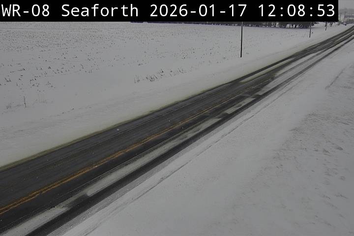
If you have to travel, it’s worth checking real-time road conditions first. Ontario’s official highway tracker, Ontario 511, provides live updates, closures, and camera views to help drivers plan safer routes.
Areas under snow squall warnings and watches
Snow squall warnings and watches are in effect for multiple regions (especially snowbelt areas). Communities listed in local alerts include:
- Bayfield Inlet
- Dunchurch
- Bruce Peninsula
- Sauble Beach
- Tobermory
- Espanola
- Killarney
- Greater Sudbury and vicinity
- Manitoulin Island
- North Bay
- Powassan
- Mattawa
- Owen Sound
- Blue Mountains
- Northern Grey County
- Saugeen Shores
- Kincardine
- Southern Bruce County
- Temiskaming Shores
- Temagami
- Town of Parry Sound
- Rosseau
- Killbear Park
- West Nipissing
- French River
As of this update, southern GTA-area communities including Mississauga, Brampton, Halton, Hamilton, and Durham were not listed in the snow squall advisory — but that doesn’t guarantee calm conditions. Snow squalls can shift location quickly, and even nearby areas may see sudden bursts of heavy snow and reduced visibility.
Why snow squalls can be more dangerous than a typical snowfall
A steady winter storm gives drivers time to adjust. Snow squalls often do not. Conditions can go from “manageable” to “not safe” in minutes, particularly on open stretches of highway where winds can blow loose snow across lanes and create instant whiteouts.
If you’re caught in a sudden squall, slow down carefully, keep your headlights on, increase following distance, and avoid abrupt braking. For broader winter safety guidance — from driving tips to shoveling safety — the federal winter preparedness page is a useful refresher: Be prepared for winter weather.
What to do right now
- Check alerts frequently: conditions can change rapidly during squall events.
- Delay non-essential travel: wait for the squall band to pass if possible.
- Track road conditions: use Ontario 511 before heading out.
- Prepare for tough commutes: winter kit, charged phone, and extra time are essential.
Winds are beginning to ramp up, and so is the blowing/ drifting snow
— WxOntario (@WxOntario1) January 17, 2026
SW gusts of 40-60km/hr expected this afternoon into tomorrow AM
If traveling across rural areas, watch for changing road conditions #OnWX #ONStorm pic.twitter.com/luQC2xOogm
Environment Canada encourages residents to keep monitoring forecasts and alerts and to report severe weather conditions where appropriate. Staying flexible with plans — especially travel — can make the biggest difference on snow squall days.
Related: More updates in Swikblog Weather.
Make Swikblog your go-to source on Google for reliable updates, smart insights, and daily trends.