Denver is heading into a dramatic weekend of weather extremes as Colorado prepares for a rapid shift from dangerous fire conditions to winter weather in less than 24 hours. Forecasters say warm temperatures, dry air and powerful winds Saturday will push fire danger to critical levels across the Denver metro, the Urban Corridor and the Eastern Plains before a strong cold front arrives overnight bringing snow, bitter cold and blustery winds.
The dramatic swing has prompted multiple weather alerts across the state, including a Red Flag Warning for fire danger Saturday and winter weather advisories ahead of the incoming storm. Residents are being urged to stay alert as conditions could change quickly from spring-like warmth to winter travel impacts.
Red Flag Warning and Critical Fire Danger Saturday
Saturday is expected to be the most active day for fire weather across Colorado. A combination of warm temperatures, extremely dry air and powerful winds will create conditions that allow fires to ignite and spread rapidly.
Temperatures across the plains are forecast to climb into the mid-70s Saturday afternoon — unusually warm for mid-March. At the same time, winds will strengthen significantly across the region, with widespread gusts expected between 40 and 65 mph. The strongest winds are likely west of Interstate 25.
Because of these conditions, a Red Flag Warning will remain in effect from 11 a.m. through 8 p.m. Saturday along the Interstate 25 corridor and eastward toward the Kansas state line. These warnings are issued when weather conditions are favorable for rapid wildfire growth.
Officials warn that any spark could quickly turn into a fast-moving grass fire in these conditions. Outdoor burning, equipment that may create sparks and activities that could ignite dry vegetation should be avoided throughout the day. Residents can monitor official alerts through the National Weather Service Denver forecast office.
Warm and Breezy Conditions Before the Storm
Saturday will start relatively mild with partly cloudy skies across the state. Overnight temperatures early Saturday morning are expected to dip into the upper 30s and low 40s across the Denver metro area before warming quickly during the day.
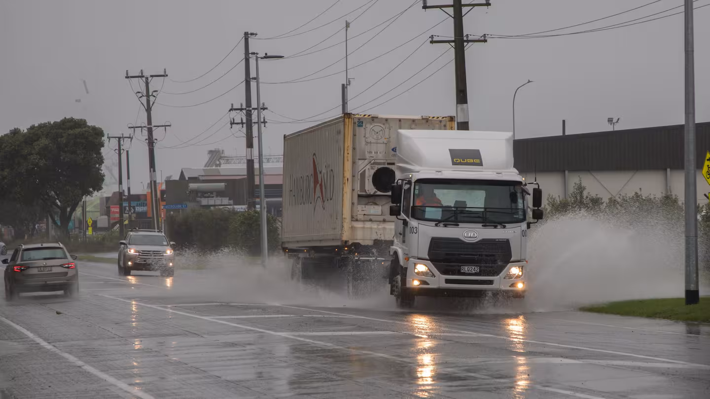
Despite the pleasant temperatures, the strengthening winds will make conditions hazardous in several ways. High-profile vehicles may experience difficult driving conditions, and blowing dust could reduce visibility across open stretches of road on the plains.
The warm and windy weather will persist through the afternoon before the pattern begins to change Saturday evening as a powerful cold front approaches Colorado from the north.
Powerful Cold Front Arrives Saturday Night
Weather conditions are expected to change rapidly Saturday night as the incoming cold front pushes into the state. The front will bring a sudden drop in temperatures along with strong northerly winds and developing snow.
Snow will begin forming in Colorado’s mountains Saturday evening and continue overnight. Travel through the high country could become difficult due to blowing snow and reduced visibility, especially into Sunday morning.
Drivers heading toward ski resorts or mountain destinations late Saturday or early Sunday should prepare for winter driving conditions. Roads may quickly become snow-covered and visibility may drop in areas experiencing heavier snowfall.
Light Snow Possible Across Denver
While the mountains are expected to receive the heaviest snowfall from this system, the Denver metro area could still see a quick round of light snow overnight Saturday into early Sunday morning.
Accumulations in lower elevations are expected to remain fairly light in most locations, generally around an inch or less. However, a few localized areas could see slightly higher totals depending on how the storm develops overnight.
Even minor snow accumulations could create slick roads early Sunday morning as temperatures fall rapidly behind the cold front.
Bitterly Cold and Blustery Sunday
Sunday’s weather will feel dramatically different compared to Saturday’s springlike warmth. Behind the cold front, temperatures will drop quickly while strong northerly winds continue across much of eastern Colorado.
Wind gusts may again reach up to 65 mph in some areas. These powerful winds will make the air feel significantly colder, producing sub-freezing wind chills across the Denver metro and surrounding communities.
Because of the expected strong winds, a High Wind Watch has been issued for most areas east of Interstate 25 from Saturday night through Sunday. Blowing snow, reduced visibility and dangerous wind gusts could affect travel across parts of eastern Colorado.
Combined with light snow showers, the gusty winds may create brief periods of difficult driving conditions Sunday morning.
Colorado Weather Whiplash in 24 Hours
The rapid shift from fire danger to winter weather highlights Colorado’s famous weather volatility. Within a single day, the state will experience temperatures in the mid-70s, powerful winds and extreme fire danger followed by snow showers, freezing wind chills and gusty winds.
This type of rapid weather swing is often referred to as “weather whiplash” along the Front Range. Residents are encouraged to stay aware of the forecast because conditions can change quickly between Saturday afternoon and Sunday morning.
Rapid Warm-Up Expected Next Week
After the brief weekend cooldown, forecasters expect a quick return to warm temperatures across Colorado as high pressure builds over the western United States.
Temperatures are projected to rebound rapidly beginning Monday and continue rising through the week. By Tuesday, highs across Denver could climb back into the mid-70s.
Even more impressive warmth could arrive Wednesday, when Denver may experience its first 80-degree day of 2026. Forecasters say the warming trend could continue through the end of the week, with temperatures potentially reaching record levels in some areas.
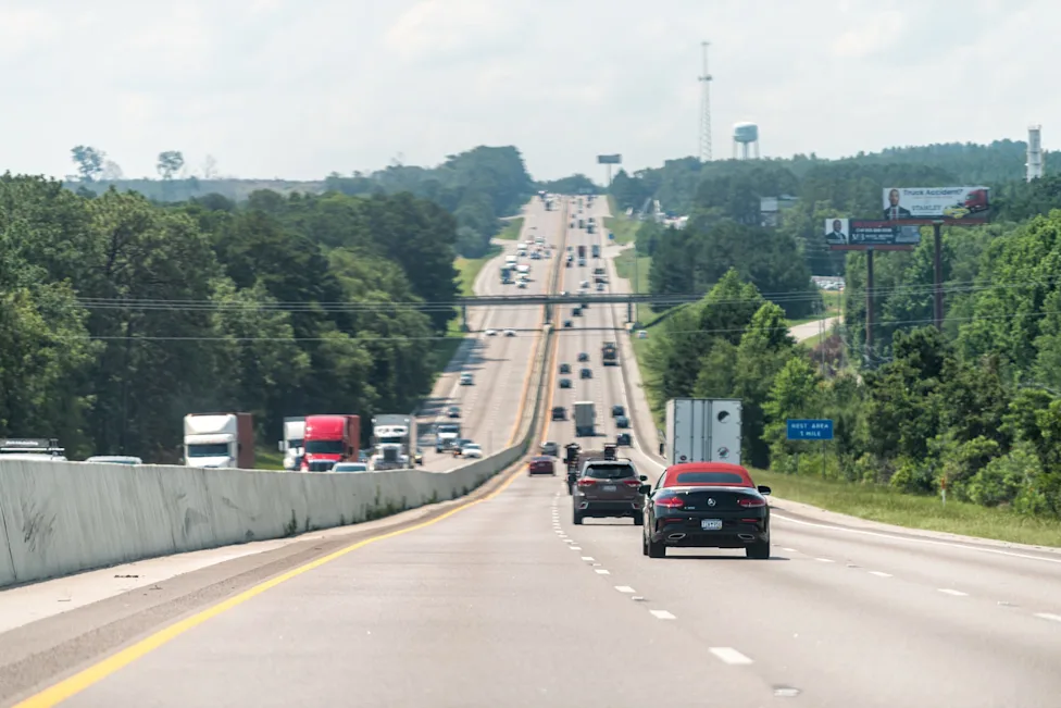
Travelers can monitor real-time road conditions and weather impacts across the state using Colorado’s official traveler resource at COtrip road and traffic information.
What Denver Residents Should Prepare For
Residents across the Denver metro should prepare for two very different types of weather over the weekend. Saturday brings elevated wildfire risk and strong winds, while Sunday introduces colder temperatures, snow showers and harsh wind chills.
Officials recommend avoiding activities that could start fires Saturday, securing outdoor objects that could be blown around by strong winds and preparing for colder conditions Sunday.
With Colorado’s weather shifting rapidly between seasons, staying informed about the latest forecasts and alerts will be key to safely navigating this dramatic weekend weather pattern.
Make Swikblog your go-to source on Google for reliable updates, smart insights, and daily trends.