New Zealand is facing a short burst of unsettled weather as two different weather systems push toward the country at the same time, bringing rain bands, gusty winds, rising humidity and warmer temperatures before conditions improve heading into the weekend.
The changing weather pattern is already moving into place, with wind and wet conditions affecting both the northern and southern ends of the country. Meteorologists say the next 24 to 48 hours will see broken rain bands, showers and pockets of stronger winds spreading across parts of the country before high pressure returns and settles conditions again.
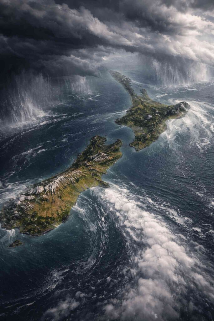
Two weather systems squeezing both ends of New Zealand
The current setup involves weather systems approaching New Zealand from different directions, effectively squeezing the country between them. One system is influencing the northern parts of the country with subtropical moisture, while another is pushing into the southern regions, creating unsettled weather across multiple areas.
This pattern means rainfall will not fall evenly across the country. Instead, many areas will experience bands of rain, scattered showers and periods of gusty winds moving through at different times.
According to reporting from the New Zealand Herald, the changing weather pattern will bring unsettled conditions across both the upper North Island and the lower South Island during Thursday and Friday.
Subtropical low bringing humidity and warmer temperatures
A weakening subtropical low is playing a major role in the weather pattern, especially for the upper North Island. As the low gradually unravels and weakens, it is pulling warmer and more humid air toward northern parts of the country.
Over the next 24 hours this is expected to increase humidity levels and lift temperatures, particularly across northern regions. This warmer and more humid air mass will help fuel areas of rain and showers while also creating a noticeably muggy atmosphere in some places.
The subtropical influence means conditions may feel unusually warm and sticky for this time of year in some northern districts, even as rain bands move through.
Wind and rain spreading across both islands
Forecast models indicate that wind and patchy rainfall will affect both islands through Thursday and into Friday. Rain is expected to arrive in broken bands rather than a continuous nationwide event, meaning some locations could see bursts of heavier showers while others experience lighter rainfall.
Pockets of windy weather are also likely to accompany the rain bands. While conditions are not expected to produce widespread severe weather everywhere, some areas may still experience brief periods of stronger gusts and heavier showers.
The lower South Island may also see unsettled conditions as the southern system pushes through, reinforcing the idea that both ends of the country will be influenced by the weather pattern at the same time.
Conditions improve as high pressure returns this weekend
The unsettled weather is not expected to last long. As New Zealand moves into the weekend, a high pressure system is forecast to rebuild across the country, helping to push the rain and unstable conditions away.
This high pressure system will gradually bring drier skies to many regions. In several parts of the country conditions are expected to become noticeably more settled, with fewer showers and more stable weather patterns developing.
While a few isolated showers may still occur in some areas, the overall trend heading into Saturday and Sunday will be toward calmer and more stable conditions.
High pressure moves into northern New Zealand next week
Looking ahead to next week, the high pressure system is forecast to move toward northern parts of New Zealand. This should support a more stable pattern for much of the North Island while westerly winds continue to influence southern parts of the country.
These westerlies could still bring occasional cloud and changeable weather to the south, but overall the national weather pattern is expected to be more settled compared with the current short-lived unsettled spell.
For many regions, next week may bring more typical late-summer or early-autumn conditions with calmer skies and fewer widespread rain events.
Forecasters also watching a possible tropical cyclone
Another development being monitored by meteorologists is a potential tropical cyclone that may form in the Coral Sea in the coming days.
At this stage the system remains far away from New Zealand and is still uncertain, but forecasters say it is something worth monitoring as weather patterns evolve next week. Tropical systems in the Coral Sea can sometimes influence weather patterns across the wider region, depending on how they develop.
Weather agencies and meteorologists will continue tracking the situation closely, with updates expected if the tropical system strengthens or begins moving toward areas that could influence New Zealand’s weather pattern.
A brief unsettled spell before calmer weather returns
For now, the key message for New Zealanders is that the unsettled conditions expected Thursday and Friday should be relatively short-lived. The combination of rain bands, gusty winds and higher humidity will move through fairly quickly before a more settled high pressure pattern returns.
As the weekend approaches, many areas should begin to see clearer skies and more stable weather conditions returning after the brief period of changeable weather affecting both ends of the country.
Residents are encouraged to monitor updated forecasts and warnings from the MetService as conditions evolve over the next couple of days.
Make Swikblog your go-to source on Google for reliable updates, smart insights, and daily trends.